
Resource estimation · Subsurface modeling · Soil contamination characterization · Air pollution mapping
Geostatistics consulting for confident decisions across your resources, subsurface, and environment
Geovariances' consultants help you build robust spatial models, quantify uncertainty, and reduce the risk behind critical decisions.
We support you in your key projects
Geovariances helps technical teams turn complex spatial data into confident decisions across their resource, subsurface, and environmental projects. We work in particular on:
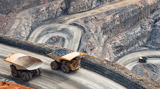
Mineral resource estimation and classification
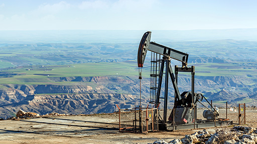
Petroleum reservoir characterization and volumetrics
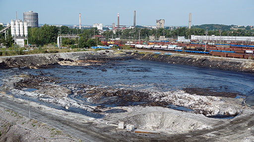
Contaminated-site characterization and remediation planning
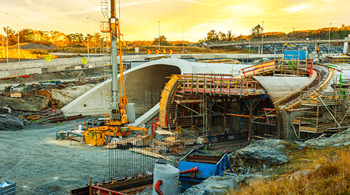
Geotechnical and ground-related risk assessment
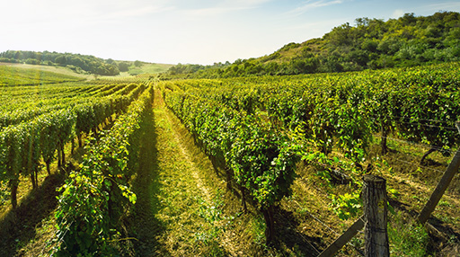
Natural-resource stock assessment and spatial mapping
Your industry?
We apply our methods to any field that calls for rigorous spatial analysis. Want to know more?
Contact usGeostatistical expertise for your critical decisions
Every project reaches a point where the right geostatistical expertise makes all the difference. Whether you're estimating mineral resources, characterizing a petroleum reservoir, assessing contamination, analyzing subsurface conditions, or managing a biological stock, Geovariances' consultants help you turn spatial data into confident, defensible decisions.
We support your team with focused expertise, an independent review, or a full study. From data validation and the choice of modeling methodology through to uncertainty quantification, we deliver the final model and the accompanying technical reports.
Our expertise by sector
Resource estimation and uncertainty analysis
We help mining companies reduce geological uncertainty and make better-informed decisions about their resources and production, at every stage of the mine life cycle.
– Resource estimation and classification
– Recoverable resource estimation and selective mining unit modeling
– Grade uncertainty characterization and risk analysis
– Drill-spacing analysis and campaign optimization
Reservoir modeling and volumetric assessment
We help energy companies build more accurate, more reliable reservoir models at every step of the geomodeling process, from seismic data to production-ready static models.
– Time-to-depth conversion with full uncertainty assessment
– Lithofacies and geological-object modeling
– Petrophysical modeling of porosity and permeability trends
– P10/P50/P90 volumetric scenarios
Subsurface modeling and geotechnical risk
We help engineering teams better understand subsurface conditions and anticipate ground variability, to reduce construction risk and make better-informed decisions.
– 3D modeling of geology and geotechnical parameters
– Subsurface variability analysis
– Risk characterization across multiple geomechanical scenarios
– Threshold-exceedance probability maps
Contaminated-site characterization and remediation optimization
We help environmental teams characterize contamination with spatial precision, optimize their investigation strategies, and design more cost-effective remediation scenarios — with defensible, traceable models.
– Sampling strategy and analysis-density optimization
– 2D and 3D modeling of chemical and radioactive contamination
– Quantification of pollutant mass and soil volumes by threshold
– Risk-based classification of contaminated zones and waste-routing optimization
Stock assessment and spatial resource mapping
We help natural-resource managers produce reliable stock estimates, yield maps, and uncertainty-aware assessments for sustainable management decisions.
– Forest inventory and timber-volume estimation
– Fish-stock estimation and spatial-distribution mapping
– Precision agriculture: yield mapping and management-zone delineation
How our consulting engagements work
Project scoping
We review your data, objectives, constraints, and decision-making context.
Study delivery
We carry out the analysis, modeling, and uncertainty quantification.
Results handover
You receive models, estimates, risk scenarios, a technical report with assumptions, methodology, results, and recommendations, and scripts to reproduce results.
Knowledge transfer
On request, we offer a transfer session and a reproducible workflow in Isatis.neo or Kartotrak.
Technology, research, and expertise applied
Geovariances brings top-tier geostatistical expertise, proprietary software, and active scientific research to every consulting engagement. Our consultants work with Isatis.neo and Kartotrak, the software developed by Geovariances, built on the very same scientific foundations as our consulting work. This ensures studies can be reproduced in tools your teams can access. Our experts also publish in international peer-reviewed journals and speak regularly at industry conferences, ensuring every project meets prevailing scientific and industry standards.
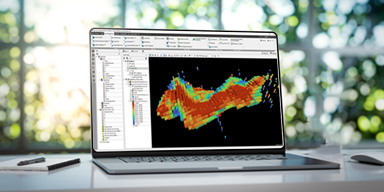
Isatis.neo
A comprehensive and advanced geostatistical platform supporting estimation, simulation, and risk management across all sectors that use spatial data.

Isatis.py
A comprehensive geostatistics Python library supporting data management, display, estimation, simulation, and risk management. Full power of Isatis algorithms, full control of your code.
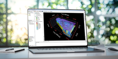
Kartotrak
An integrated solution for characterizing sites contaminated by chemical or radioactive substances and managing environmental risks.
Our consultants
Roberto Metzingen Rolo, PhD
Senior Consultant, Geostatistics & Data Science
An expert in turning geological data into reliable resource models, Roberto helps mining teams develop advanced estimation and simulation solutions that meet international standards. Specialized in Python and machine learning applied to geoscience, he designs tailored approaches for the complex challenges of mining projects.

Pedram Masoudi, PhD, HDR
Senior Consultant Geostatistician & Geophysicist
A consultant and trainer at Geovariances, Pedram is skilled in geostatistical modeling and the integration of geological and geophysical data. He supports clients on mineral resource estimation (JORC-compliant), petroleum reservoir characterization, geological facies modeling, geotechnical studies, and contaminated-soil mapping, notably in radiation-protection contexts.
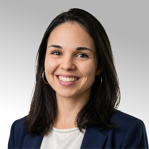
Meryem Meziane, PhD
Consultant, Geostatistics & Environment
Drawing on doctoral research in geostatistics applied to nuclear safety at ASNR and teaching experience at Mines Paris–PSL and Université Paris Cité, Meryem supports clients in implementing Kartotrak. She turns sampling data into reliable 3D contamination models, defensible volume estimates, and robust remediation decisions, tailored to the challenges of contaminated sites and nuclear decommissioning.
"Every time, we've valued Geovariances' excellent service and support. Their consultants are highly professional and flexible."
"The two-day mentoring session I had with Geovariances' consultants was a truly rewarding experience. I especially appreciated how professional the consultants were and how closely they took my project's objectives into account throughout our meetings."
"I chose Geovariances for their outstanding expertise in non-standard applications of geostatistics."
Frequently Asked Questions
What geostatistics consulting services does Geovariances offer? expand_more
Geovariances provides geostatistics consulting services across the mining, energy, subsurface, environmental, and bioresource sectors. Our work covers data-quality review, sampling optimization, 2D and 3D modeling, uncertainty and risk analysis, resource and volume estimation, independent model review, technical reporting, and knowledge transfer.
When should an engineering or construction company bring in a geostatistics consultant? expand_more
Any project involving variable ground conditions – civil engineering, foundation design, tunneling, offshore wind, or geothermal – can benefit from geostatistical modeling. A consultant adds value when spatial variability needs to be characterized rigorously, when risk must be quantified across several scenarios, or when an independent, defensible assessment of subsurface conditions is required.
Can Geovariances' consultants write independent technical reports? expand_more
Yes. Geovariances’ consultants have solid experience writing and reviewing independent technical reports to international reporting standards — including NI 43-101 (Canada), JORC (Australia), and PERC (Europe) for mineral resources — as well as environmental compliance reports for contaminated-site and nuclear-decommissioning projects.
What sets Geovariances apart from other geostatistics consultants? expand_more
Three things set Geovariances apart: 40 years of exclusive specialization in geostatistics, an active R&D partnership with the Center for Geostatistics at Mines Paris–PSL, and proprietary software – Isatis.neo and Kartotrak – developed in-house and used daily on consulting projects. Our consultants don’t just apply geostatistics; they help advance it.
Can Geovariances review or audit an existing geostatistical model? expand_more
Yes. Geovariances’ consultants can review existing geostatistical models, estimation processes, assumptions, input data, uncertainty assessments, and technical reports. This can support internal quality control, regulatory permitting, financing decisions, or independent project reviews.
How does Geovariances handle knowledge transfer? expand_more
On request, our consultants run a dedicated transfer session with your team, covering the methodology applied, the workflow built in Isatis.neo or Kartotrak, and how to reproduce and build on the results. Because our consultants use the same software your team has access to, there’s no translation gap between what’s delivered and what you can maintain on your own.
Need help with your projects?
Feel free to contact us. Our experts will get back to you within 48 hours.
Address
44 avenue de Valvins, 77210 Avon, France