Isatis.neo #1: How to Reinitialize a task
This short Isatis.neo tutorial explains how to reinitialize a task within the software, helping users quickly reset and restart a workflow step when needed. It is a practical...
Webinar replays, tutorials, demos, and publications: deepen your expertise with our full range of technical resources.
resource types
application fileds
to download
This short Isatis.neo tutorial explains how to reinitialize a task within the software, helping users quickly reset and restart a workflow step when needed. It is a practical...

Contamination characterization — Go beyond standard reporting with geostatistics. In this webinar, you’ll learn how geostatistical methods reveal what conventional reports often miss, including uncertainty, sampling optimization, and...
Turn spatial data into sound decisions. Learn to analyze datasets, map surfaces, model subsurface properties and quantify uncertainty with practical geostatistical workflows.
2 days EUR 1,100
The Ginger BURGEAP environmental consultancy, a leader in the remediation of polluted sites and soils for over 30 years, uses the Kartotrak software solution to establish mass balances, define areas of concentrated pollution, and quantify volumes of pollution. What do they see as Kartotrak’s strengths? The 3-dimensional visualization of the contamination and the site, the […]
RSK Environnement has selected Kartotrak, the leading expert tool for characterizing soil and structural contamination. The objective: to integrate a probabilistic approach and significantly enhance the robustness of its assessments.
How can more than 500,000 m³ of excavated soil be managed in a context of heterogeneous soil quality while keeping costs under control?HAROPA PORT relies on a probabilistic geostatistical approach to estimate volumes, anticipate disposal routes, and secure the project budget.
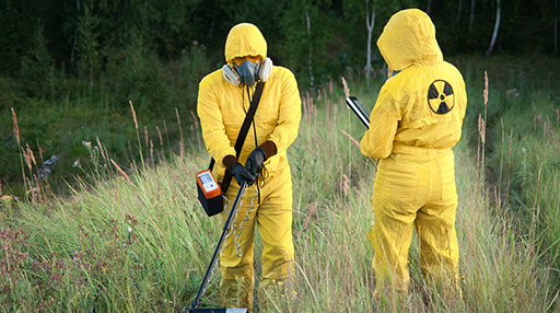
Radiological contamination is spatially heterogeneous. See how geostatistics helps assess sampling, map uncertainty and evaluate affected volumes for decommissioning projects.
1 day EUR 550
Learn how geostatistics transforms contaminated site characterization: uncertainty maps, optimized sampling plans, and probabilistic 3D volumes. Live webinar, June 30 at 11:00 a.m. — Free registration.
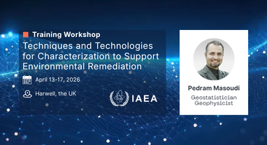
Geovariances consultant Pedram Masoudi will contribute to an IAEA–UKHSA training workshop dedicated to characterization techniques supporting safe, science-based environmental remediation. April 13-17, 2026
Why do forest radiation readings vary so much by date? Geovariances co-authored this Fukushima study using Isatis.neo for semivariogram analysis.