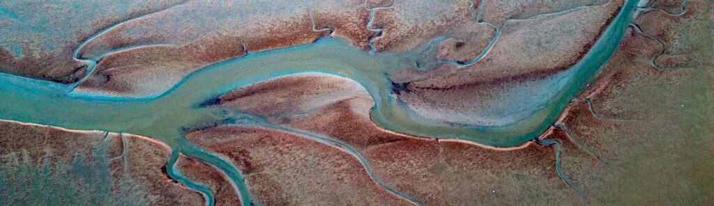
Webinar | An innovative MPS approach for realistic geological models… and much more
See how MPS and Isatis.neo's DeeSse algorithm capture true geological realism — channels, facies, connectivity. Live webinar, July 10, 2026. Free registration.
Master uncertainty and optimize your models with our software solutions and world-renowned consulting expertise.
Uncertainty is part of your data. It should not be part of your decision.
Don't let uncertainty drive your major investment decisions.
Imprecise subsurface modeling leads to budget inflation due to unforeseen events.
Uncertainty and risks are quantified before the first dollar is committed. The budget is optimized.
Unexpected geological anomalies halt operations and push back deadlines.
Risk zones are integrated into planning before they become operational crises.
Repeated surprises that erode the confidence of investors and stakeholders.
Defensible, auditable, and reproducible reports. Traceability preserves trust.
Geostatistical precision applied to the specific challenges of your industry.
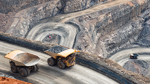
EXPLORATION, OPERATIONQ
Modeling of deposit geometry
Estimation of grades and tonnages
Quantification of resource uncertainty
Optimization of mining strategies
Management of spatial variability in ores
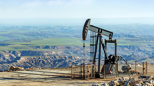
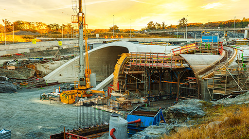
OIL, STORAGE, GEOTHERMAL
Reservoir Geometry Modeling
Volume Estimation
Volume Uncertainty Assessment
Management of Petrophysical Property Variability
GEOLOGY, HYDROGEOLOGY, GEOTECHNICS
Integration of data from multiple sources
Construction of 3D geological models
Mapping of subsurface properties
Quantification of spatial variability
Assessment of model uncertainty
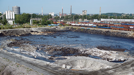
CONTAMINATED SOILS, NUCLEAR DECOMMISSIONING, AIR QUALITY
2D and 3D mapping of contaminated lands and facilities
Assessment of pollutant distribution
Identification of priority treatment areas
Quantification of the risks of contamination spread
Planning of remediation strategies
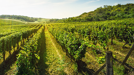
AGRICULTURE, FORESTRY, FISHING
Mapping resource distribution
Estimating productivity
Assessing spatial quality
Quantifying yield variability
Optimizing resource management
We apply our methods to any field requiring rigorous spatial analysis. Want to know more?
Contact us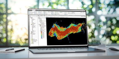
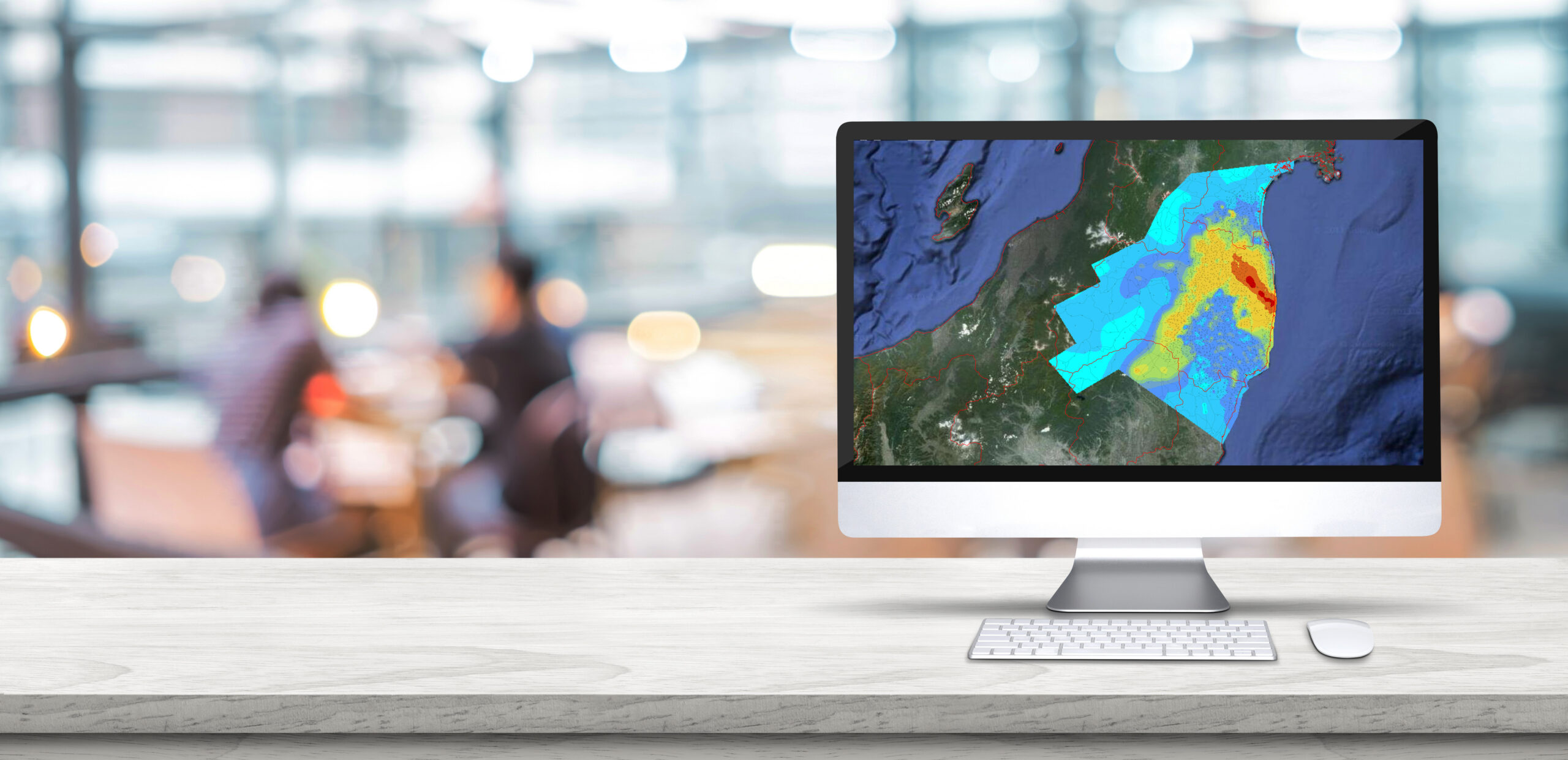
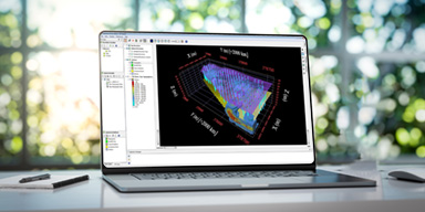
A comprehensive and advanced geostatistical platform supporting estimation, simulation, and risk management across all sectors that use spatial data.

A comprehensive geostatistics Python library supporting data management, display, estimation, simulation, and risk management. Full power of Isatis algorithms, full control of your code.
An integrated solution for characterizing sites contaminated by chemical or radioactive substances and managing environmental risks.
From initial learning to advanced expertise, we support you at every step.
Audit or full execution of your geostatistical study by our senior experts.
I request an audit arrow_forwardAll levels, tailored to your industry and specific field of activity.
I explore the catalogue arrow_forwardLearn new geostatistical techniques regularly and for free.
I discover the programme arrow_forwardA guaranteed response within 24 hours, every business day, from our expert engineers.
I contact support arrow_forward"We needed to create precise boundary surfaces of hydrostratigraphic units for groundwater models. Geovariances helped us build a mapping procedure using local geostatistics and thickness-based kriging that we continue to use."
"Geovariances technical support is personalized, which I really enjoy. Many software companies provide a totally impersonal "call center" type of support, which certainly discourages us to use the support and the software itself. Not Geovariances."
"The cooperation with Geovariances experts has allowed our team members to improve their knowledge in stochastic modeling and connectivity issues."
See how MPS and Isatis.neo's DeeSse algorithm capture true geological realism — channels, facies, connectivity. Live webinar, July 10, 2026. Free registration.
You already produce contamination maps and calculate volumes to treat. This webinar shows what six critical pieces of information are missing from your current...
Everything you want to know before contacting us
Yes. Classical statistics treat data as independent of each other. Geostatistics, on the other hand, exploits their spatial correlation: it uses the position of each measurement to estimate values where you have not drilled, sampled, or taken samples, while quantifying the uncertainty of these estimates.
It is precisely under these conditions that geostatistics is most useful. It is designed to manage uncertainty, not ignore it. Imperfect data processed with the right method produces better decisions than ideal data analyzed with unsuitable tools.
Yes. Our hundreds of clients cover all sectors and sizes, from engineering firms and specialized SMEs to international groups. Our approach adapts to the size of the project and the geostatistical maturity level of your teams: Storengy, TOTALENERGIES, Rio Tinto, etc.
Isatis.neo integrates with industry standard formats (CSV, GSLIB, LAS, Shapefile…) and has connectors with the main geological modeling software.
Yes, we offer customized demonstrations on your data as well as free trial versions to test our tools in real-world conditions.
Absolutely. Our catalogue covers all levels, from the technician discovering geostatistics to the senior geoscientist wishing to delve deeper into advanced methods.
Describe your problem to us via the contact form or directly at info@geovariances.com. Our geostatisticians will guide you free of charge towards the most suitable solution.
Ready to turn your data into decisions?
Our experts will get back to you within 48 hours.
44 Avenue de Valvins, 77210 Avon, France