Webinar
An innovative MPS approach for realistic geological models… and much more
Discover how Multiple-point Statistics (MPS) helps generate more realistic geological and facies models. Join this webinar to explore the DeeSse algorithm in Isatis.neo through practical geoscience applications and live demonstrations.
Friday, July 10, 11:00 AM (Paris CEST) — Duration : ~30 minutes + live Q&A
Why attend
Traditional geostatistical simulation methods often struggle to reproduce realistic geological structures and connectivity. While global statistics may be respected, the resulting models can miss the spatial organization that controls fluid flow, resource continuity, or geological interpretation.
Multiple-point Statistics (MPS) offers a different approach.
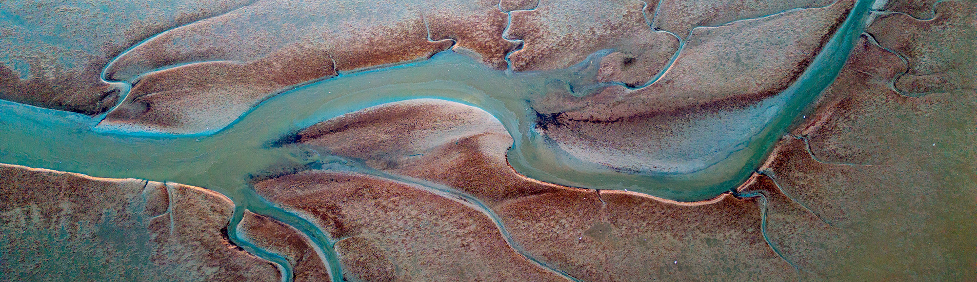
By using training images to directly reproduce geological patterns, MPS enables the generation of facies models that more closely reflect geological reality, ranging from channels and meanders to complex, heterogeneous environments.
In this webinar, discover how the DeeSse algorithm implemented in Isatis.neo helps geoscientists build more realistic geological models while remaining flexible and practical for real-world workflows.
Through practical examples and a live demonstration, you will see how MPS can improve geological realism for applications in mining, hydrogeology, environmental studies, and geophysics.
What you’ll learn
During this webinar, you will discover:
- Why traditional simulation methods can struggle with geological realism
- How MPS helps preserve geological continuity and connectivity
- How training images are used to reproduce realistic spatial structures
- Real application examples from geosciences
- The capabilities of the DeeSse algorithm in Isatis.neo
- How MPS workflows can be integrated into practical modeling projects
Who should attend
This webinar is ideal for geologists and geomodelers, geostatisticians, mining professionals, hydrogeologists, environmental scientists and engineers, reservoir modelers, anyone interested in improving geological realism in spatial simulations.
Lecturer
Roberto Rolo is a Senior Geostatistics and Data Science Consultant at Geovariances-Datamine. He supports mining teams in transforming geological data into reliable, actionable models through advanced geological modeling, grade estimation, and simulation workflows aligned with international reporting standards. An expert in Python and machine-learning techniques for geosciences, he develops tailored solutions to address real-world challenges in mining projects.
Don’t miss this opportunity to learn from our experts!
All registrants will receive the replay video after the event.