
GEOSTATISTICS PYTHON PACKAGE
Isatis.py · Geostatistics Software for Python Developer
Integrate advanced spatial modeling, kriging, simulation, and uncertainty quantification directly into your Python workflows. Full power of Isatis algorithms, full control of your code.
What is Isatis.py?
Isatis.py is a Python library that exposes the full power of Isatis.neo's geostatistical algorithms. It brings advanced spatial statistics — kriging, simulation, variography, risk analysis — directly into your data science environment, with no GUI overhead.
Built on 40 years of geostatistical R&D and trusted by 500+ organizations worldwide, Isatis.py lets you automate complex workflows, integrate spatial modeling into production pipelines, and combine geostatistics with your own Python ecosystem.
Works seamlessly with Isatis.neo. Use Isatis.py for scripting and automation, Isatis.neo for guided modeling and visualization. Same algorithms, same results, your choice of interface.
Whatever your industry, Isatis.py fits your challenges
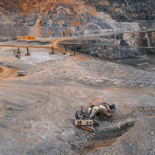
Grade estimation · Resource modeling · JORC / NI 43-101
Estimate grade and spatial distribution of minerals from blast and drill holes. Build robust resource models compliant with international reporting standards.
Better value my resources arrow_forward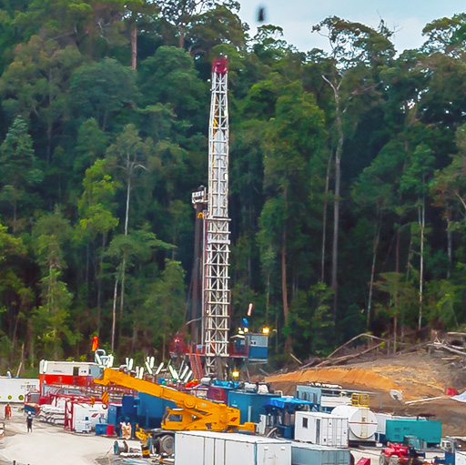
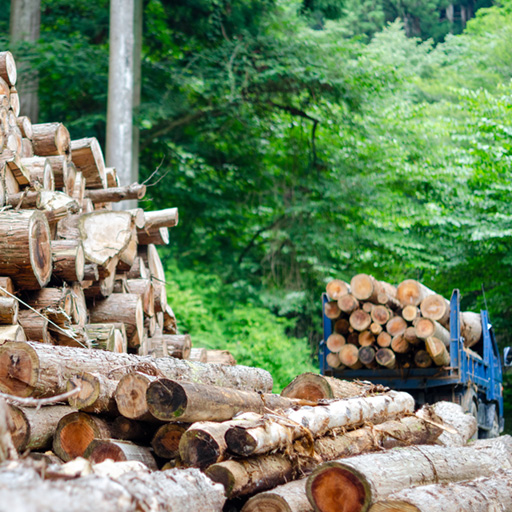
Oil & Gas · Gas Storage · Geothermal
Characterize your reservoirs from seismic and well data. Model volumes in place, facies heterogeneities, and quantify structural uncertainties.
Better quantify my volumes arrow_forward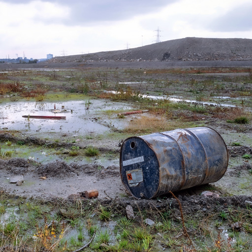
Contaminated Sites · Nuclear Decommissioning · Air Quality
Map pollutant distribution, quantify soil volumes to be treated, assess exposure risks, and produce auditable reports for regulatory authorities.
Better size my remediation arrow_forward arrow_forward For contaminated site characterization: see also Kartotrak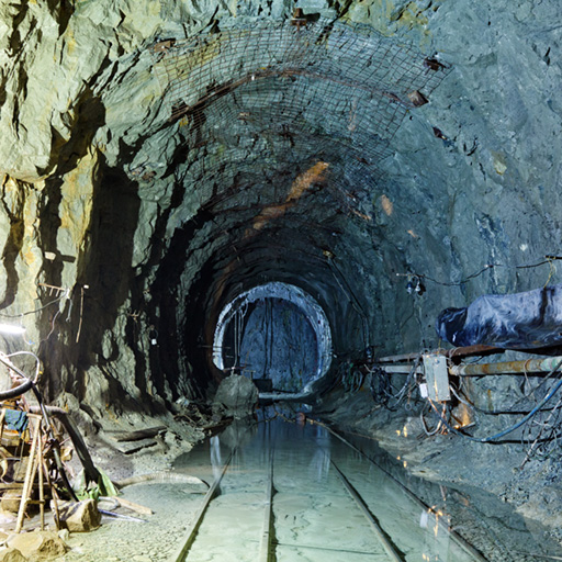
Your Complete Geostatistical Toolkit
The widest choice of geostatistical techniques
Data Handling
Import, structure, and manage spatial data from any source. Direct pandas integration for familiar workflows.
Variography
Calculate experimental variograms and fit spatial continuity models. Automatic model selection and parameter optimization.
Estimation
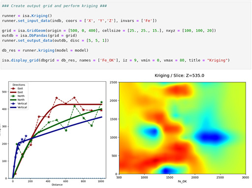
Ordinary, simple, universal kriging. Cokriging, kriging with external drift, non-linear methods including conditional expectation.
Simulation
Sequential Gaussian Simulation (SGS), Turning Bands (TBS), Plurigaussian, and Multiple-Point Statistics. Generate equally probable realizations.
Uncertainty
Quantify spatial uncertainty. Kriging variance, exceedance probabilities, risk metrics directly from simulation outputs.
Output & Integration
Export results in any format. NumPy arrays, GeoDataFrames, NetCDF, GeoTIFF. Integrate into larger data science pipelines.
Why Developers Choose Isatis.py
Full Control
No GUI constraints. Build exactly the workflow you need, from data loading to post-processing.
Automation Ready
Script repetitive tasks. Batch processing, parameter sweeps, and sensitivity analysis at scale.
Ecosystem Integration
Works with scikit-learn, NumPy, Pandas, Matplotlib, Jupyter. Build hybrid ML + geostatistics pipelines.
Production Deploy
Containerize your models. Deploy as APIs, batch jobs, or microservices. Version control your entire workflow.
Reproducibility
Every step recorded in code. Full transparency, auditability, and repeatability for regulatory compliance.
Expert Support
Access our PhD-level geostatisticians. Code review, algorithm consultation, performance optimization.
Documentation
Complete API reference, tutorials, and code examples. Start with the quickstart guide.
Request a demo arrow_forwardFree trial
Access Isatis.py for evaluation. One month, no commitment. Test on your own data.
Request trial arrow_forwardTalk to an Expert
Discuss your use case with our team. Architecture advice, performance optimization, best practices.
Contact Us arrow_forwardPrefer ready-to-use software?
Isatis.neo is a geostatistics graphical software platform — intuitive GUI, guided workflows, visualization. Best for exploration and interactive modeling. Same algorithms. Same results. Pick your interface.
Discover Isatis.neo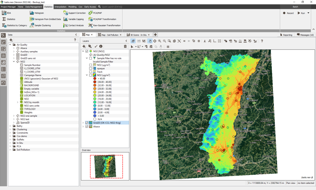
"At Eramet, Isatis.py enabled us to standardize and automate resource estimations across our deposits by centralizing a single script within a user-friendly, web-based platform, ensuring faster, more reliable, and fully traceable results."
Frequently Asked Questions
Everything you need to know before contacting us
What Python versions does Isatis.py support? expand_more
Isatis.py supports Python 3.8 and later. It’s tested on CPython, with wheels provided for Linux, macOS, and Windows. Installation via pip.
Can I use Isatis.py with Jupyter notebooks? expand_more
Yes, fully. Isatis.py integrates seamlessly with Jupyter, enabling interactive exploration, visualization, and prototyping. Perfect for exploratory work and collaboration.
Does Isatis.py require Isatis.neo? expand_more
No. Isatis.py is a standalone library. You can use it independently. However, it complements Isatis.neo nicely for teams using both GUI and scripted approaches.
How do I deploy Isatis.py models to production? expand_more
Isatis.py models are pure Python code. Containerize with Docker, deploy on Kubernetes, package as serverless functions, or run in traditional batch systems. Full flexibility.
Can Isatis.py handle large datasets? expand_more
Yes. Isatis.py uses optimized algorithms for performance. For massive datasets, consider block kriging, moving-window approaches, or distributed simulation strategies. Our team can advise on architecture.
Is Isatis.py open source? expand_more
Isatis.py is closed-source but offers source-level transparency where needed. The license is flexible: perpetual or subscription based options available.
How does Isatis.py differ from scikit-kriging or other open-source libraries? expand_more
Isatis.py provides 40 years of battle-tested geostatistics: advanced simulation methods (PGS, MPS, SPDE), complex kriging variants, direct integration with Isatis.neo, and expert support. Most open-source libraries cover kriging basics; Isatis.py is production-grade.
Can I call Isatis.neo functions from Isatis.py? expand_more
Yes. You can export data from Isatis.py, load it in Isatis.neo for visualization or further analysis, then import results back. Both tools use the same underlying algorithms, ensuring consistency.
Contactez nos experts
Prêt à transformer vos données en décisions ? Nos experts vous répondent sous 48h.
Head Office
44 Avenue de Valvins, 77210 Avon, France