Geovariances has been actively involved in EPRI geostatistics guide
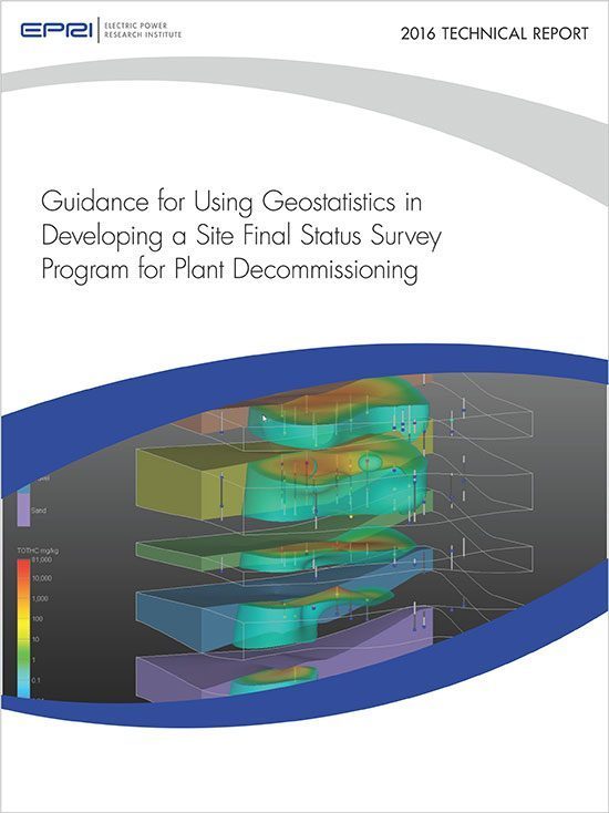
In 2016, the American EPRI published a guide for using geostatistics in developing a site final status survey program for plant decommissioning. This report examines the use of geostatistical approaches that exploit spatial relationships to develop a three-dimensional contamination map based on measurement results from discrete points.
The key consideration in the final release of a nuclear site from radiological controls following plant decommissioning is the potential long-term radiation exposure of future users. A key input to demonstrating acceptable levels of residual contamination is characterization data obtained from surveys and sampling. Statistical approaches such as those described in the Multi-Agency Radiation Site Survey and Investigation Manual (MARSSIM) have typically been used to evaluate the characterization results to show that radiation dose–based site release criteria have been satisfied. However, such approaches have historically explicitly considered characterization of only surface contamination. Consideration of subsurface contamination, when required, has involved the development of nonstandard, site-specific approaches.
Limitations of historical site characterization methodologies have prompted regulators worldwide to question the handling of subsurface contamination in the verification of site release requirements. Likewise, the industry has worked to develop a more standardized approach to explicitly include subsurface contamination in the final status survey protocol. To this end, this report examines the use of geostatistical approaches that exploit spatial relationships to develop a three-dimensional contamination map based on measurement results from discrete points.
The intermediate sections of this report present a conceptual overview of geostatistics, applications of geostatistics outside of nuclear site decommissioning, applications of geostatistics specific to nuclear site decommissioning, and software products for automating geostatistical analysis. The applications are presented in the form of case studies that illustrate key concepts and potential challenges. The concluding section of this report distills the preceding sections into guidance for using geostatistics in support of nuclear site decommissioning and final status survey. First, the guidance section of this report provides a roadmap to direct an analyst through the generic and decommissioning-specific steps of applying geostatistics. This roadmap includes a framework for robustly characterizing and demonstrating compliance of subsurface contamination through geostatistical analysis. This example compliance framework may act as a foundation for future standardization and acceptance of geostatistical methods and requirements when used in support of final status survey. Other specific applications for which geostatistics may be applied in support of nuclear site decommissioning are also discussed. Several barriers to using geostatistics are examined.