Skip to content

Geovariances is a Datamine company.    X

THE GLOBAL PROVIDER OF GEOSTATISTICS-BASED SOLUTIONS

   Access our blog  |  Subscribe to our newsletters  |  Contact us
    MY GEOVARIANCES        LOG IN   
Logo Geovariances
  • Industries
    • Mining Industry
    • Oil & Gas Industry
    • Nuclear Decommissioning
    • Contaminated Sites
    • Air, water, soil, bioresources and other
  • Software
    • Isatis.neo, accessible powerful geostatistics
    • Kartotrak, for contaminated site characterization
    • Isatis.py, Python package in geostatistics
    • On demand library and application development
    • Innovation
    • Technical support
  • Consulting
  • Training
    • Training offer
    • Upcoming training sessions
    • Training catalog
  • Resources
  • About us
    • What our clients say about us
    • Who we are
    • News
    • Events
WHAT'S NEW IN KARTOTRAK 2022.06?

Version 2022.06 of Kartotrak offers several new tools facilitating data management and software use.

Simplified data management

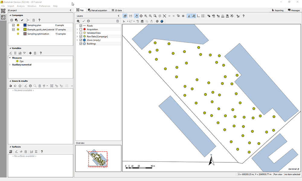
New campaign manager

  • Quickly add new measurement campaigns to your project by importing CSV files, adding new sample points manually, or acquiring them automatically.
  • Identify the campaigns by a color code and a specific name to trace the upload history.
  • Filter out and select the campaigns to be processed or visualized with a single click
  • Rename, suppress or merge campaigns. Change the color of the sample points.
  • Control and validate the data of the selected campaign in two clicks.

New project manager

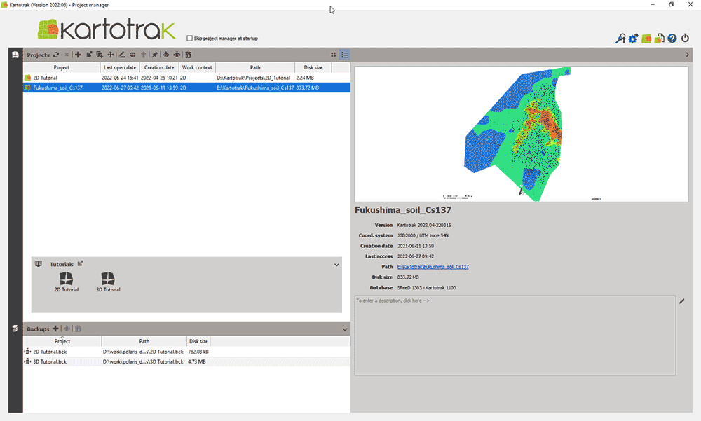
  • Quickly access and manage all your current and backup projects and the tutorials from a single interface.
  • Easily modify the coordinate system if you notice that the one you defined when importing data is incorrect.
  • Get information about your license and configuration and quickly access the Release Notes.

Exchange color scales between projects

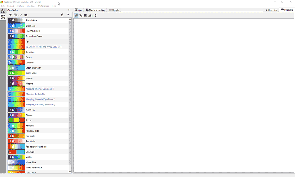
Copy color scales from a Kartotrak project into another one by exporting and importing the corresponding files.

Additional capabilities when analyzing data

New data selection by polygon

Quickly select points in the basemap by drawing a polygon around them to highlight and mask the related representations in the different displays.

Useful tools

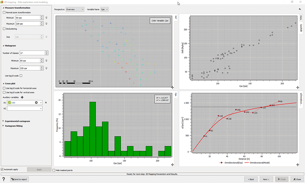
Graphics customization

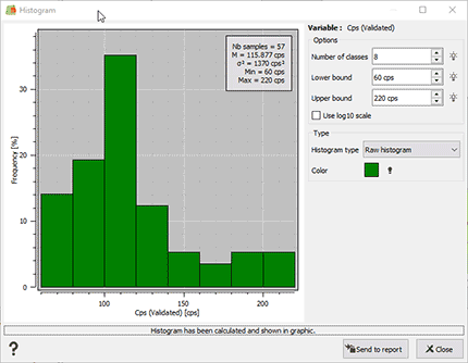
  • Edit and set the bound axes of any graphic to your desired values.
  • Enter the title of your choice for the graphic.

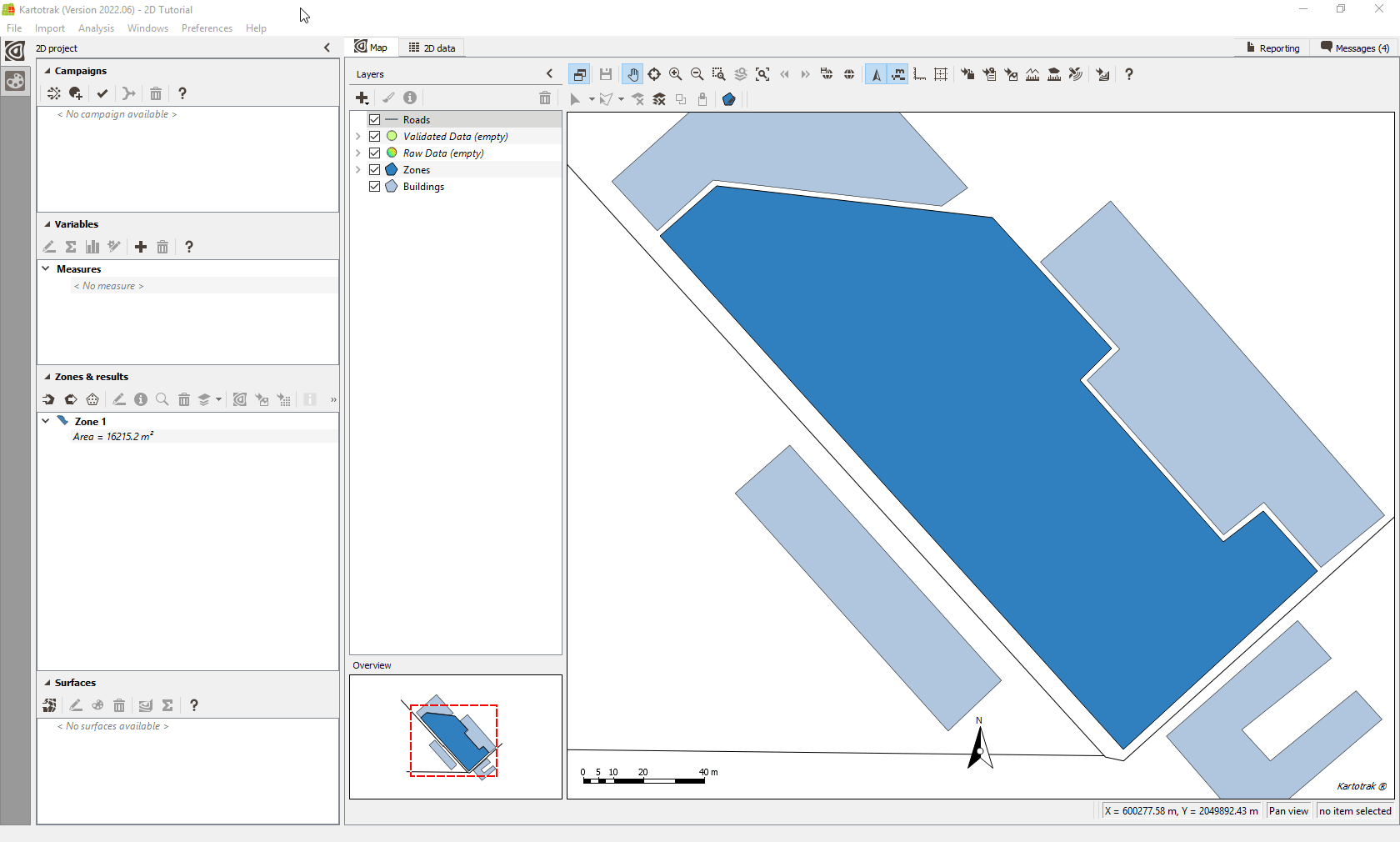
Area of interest definition

Automatically define the area of interest from data. This area is used to constrain the interpolation in space.

Watch the entire demo in either English or French

Download Kartotrak v2022.06 Release Notes for the complete list of improvements
Kartotrak key features

  • New features in version 2021.06
  • New features in version 2018
  • New features in version 2016

Contact

info@geovariances.com
EUROPE, AFRICA, ASIA, OCEANIA
Tel +33 (0)1 6074 9090
NORTH AMERICA
Tel +1 437 432 3346
SOUTH AMERICA
Tel +55 11 98384 9716

ANY QUESTIONS ?

If you would like to discuss your needs or an upcoming project, please feel free to contact us by completing this form.

Fill the form

MEDIA

  • Newsletter subscription
  • Blog posts
  • Press releases
  • Press review

CONNECT WITH US

Find our Jobs
©2025 Geovariances — All rights reserved. Privacy Policy, terms & conditions
website v2.757-3424654-develop - 2024-08-28@17:49:08

Operation in progress, please wait...


We use cookies on this website to enhance your user experience.

By continuing to navigate on this site, you accept that we deploy the strictly necessary cookies for its proper functioning and measuring traffic.

Note that our videos are hosted by Youtube. By watching them, you accept the terms and conditions of www.youtube.com.
Read our Privacy and Cookies Policy.

Got it

LOGIN TO OUR WEBSITE

Business Email *


Why be authenticated on our website?

• To have free access to your private space MY GEOVARIANCES for software and technical documentation download
• To benefit from free download of technical resources
• To fill any form without entering details again and again
• To register for a training course or a seminar in one mouse click

For any question, please contact webmaster@geovariances.com


Stay current with our news

Get some tips on how to use our software solutions. Be the first to hear about software updates and new features, the publication of blog articles, white papers or client stories. Keep your agenda up to date with our training sessions, webinars, and workshops.

Subscribe now to our emails, newsletters, and/or blog.

> SUBSCRIBE

MAKE AN ENQUIRY

If you have questions or would like to discuss your needs or an upcoming project, please feel free to contact us by completing this form. We are happy to help.