In addition to 2D and 3D maps of radioactivity levels in soils and for building concrete, geostatistics is advantageously used in other application fields in the nuclear industry, still with a strong emphasis on exploratory data analysis and sampling optimization:
- Mapping of background levels,
- Analysis of the spatial homogeneity/heterogeneity of waste packages,
- Interpretation of autoradiography measurements,
- 2D and 3D modeling and mapping of chemical pollution on sites (heavy metals, hydrocarbons, etc.),
- Mapping of carbon content of EPR vessel heads,
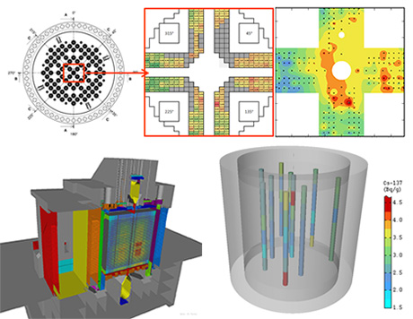
- Radiological inventory of reactor,
- Spatiotemporal analysis and optimization of groundwater network,
- Modeling of site hydrogeological properties using truncated plurigaussian simulation for flow and transport models. See also Groundwater monitoring.