Year: 2019
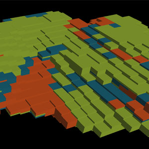
Available in Isatis.neo: an innovative way of classifying mineral resources
Posted on
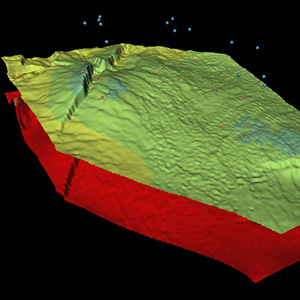
With the “Sampling Density Variance” tool, Isatis.neo offers an innovative methodology allowing robust resource classification, independent from sample number, block size, and domain extension.
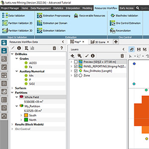
Isatis.neo Resources Workflow can be used for audit and desktop review of Mineral Resource Estimation projects
Posted on
Auditing and reviewing a Mineral Resource Estimate either internally or publicly is a multifaceted process for which no software can pretend it will provide all the required tools to tick all the boxes. But some solution will provide better adapted platforms than others. Isatis.neo Resource Workflow falls in that category.

What are recoverable resources? (2/2)
Posted on
David Barry, Senior Geostatistician and a Geovariances’ Perth-based consultant, has been invited by Optiro, a resource consulting group, to participate in a podcast about recoverable resource estimation. Listen to this 2nd recording and learn more about the alternatives to uniform conditioning, such as MIK and conditional simulations, and their pros and cons.
What are recoverable resources? (1/2)
Posted on
David Barry, Senior Geostatistician and a Geovariances’ Perth-based consultant, has been invited by Optiro, a resource consulting group, to participate in a podcast about recoverable resource estimation. Listen to the recording and learn what are recoverable resources, how they differ from reserves, and what are the main techniques to compute them. The focus in on Uniform Conditioning. Other possible techniques will be presented in a further podcast.
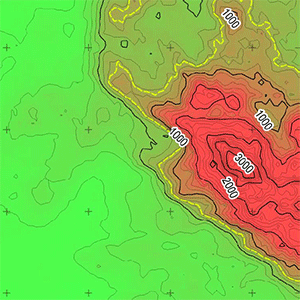
Optimizing flight-line distance for soil decontamination, application to contaminated Fukushima territories
Posted on
IRSN, the French institute for radioprotection and nuclear safety, has been using Geovariances’ software solutions for many years to map radioactive contamination from airborne data. This study, conducted by IRSN and presented at ERPW 2018, demonstrates the influence of the variogram model on the map quality.
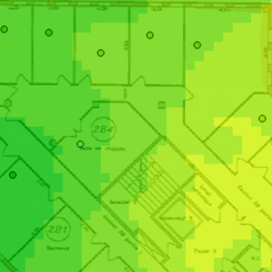
How Geovariances tricks its own software Kartotrak for mapping indoor wifi coverage
Posted on
Geovariances used Kartotrak.one to map the wifi coverage inside its premises and verify that the transition to a newer wireless networking transmission method has improved the signal across the office and is justified.
Uncertainty in Depth Conversion: Why should I care?
Posted on
Conversions & Uncertainties Workflow, Geovariances’ new tool for depth conversion, gives the user the means to explore all credible reservoir scenarios. It helps prove or disprove the meaningfully different scenarios obtained from a set of realizations and increase the accuracy of your reservoir model.
Geostatistics is recommended in international guidelines for contaminated site management
Posted on
Benefit from the recognized status of the geostatistics methods. Embrace the official recommendations to earn the trust of your clients.
Mining (14)
Nuclear Decommissioning (9)
Contaminated sites (7)
Oil & Gas (6)
Hydrogeology (5)
TAGS:
2D/3D (2)
Background images (1)
Big data (1)
Conditional simulations (7)
Contaminated sites (2)
Contamination (2)
Drill Hole Spacing Analysis DHSA (3)
Excavation (2)
Facies modeling (2)
Flow modeling (1)
Geological modeling (3)
Gestion des sites pollués (2)
H2020 INSIDER (1)
Horizon mapping (1)
Ice content evaluation (1)
Isatis (11)
Isatis.neo (16)
Kartotrak (8)
Machine Learning (2)
Mapping (3)
MIK (2)
Mineral resource estimation (7)
Monitoring network optimization (1)
MPS (2)
Ore Control (1)
Pareto (2)
Pollution (2)
Post-accidental situation (2)
Recoverable resource estimation (3)
Resource classification (2)
Resources workflow (1)
Resource workflow (3)
Risk analysis (3)
Sample clustering (1)
Sampling optimization (3)
Scripting procedures (3)
Simulation post-processing (1)
Site characterization (2)
Soil contamination mapping (4)
Time-to-Depth conversion (1)
Uncertainty analysis (2)
Uniform Conditioning (5)
Variography (2)
Volumes (2)
Water quality modeling (1)
AUTHORS:
David Barry (3)
Yvon Desnoyers (2)
Pedram Masoudi (2)
Pedro Correia (1)
Catherine BLEINES (1)
DATES:
2023 (2)
2022 (3)
2021 (2)
2020 (2)
2019 (8)
2018 (4)
2017 (3)
2016 (3)